A Sensor System for Autonomous UAV Landing
A tested vision-sensor prototype that detects a landing pad and estimates a UAV's position relative to it.
Overview
A network of charging pads could extend a UAV’s operating range, but GPS can bring an aircraft only to the general area of a pad. Landing requires a more precise estimate of the pad’s position relative to the aircraft. For my undergraduate electrical-engineering thesis, I designed and tested a self-contained sensor module to provide that estimate without depending on a ground network or offboard processing.
Approach
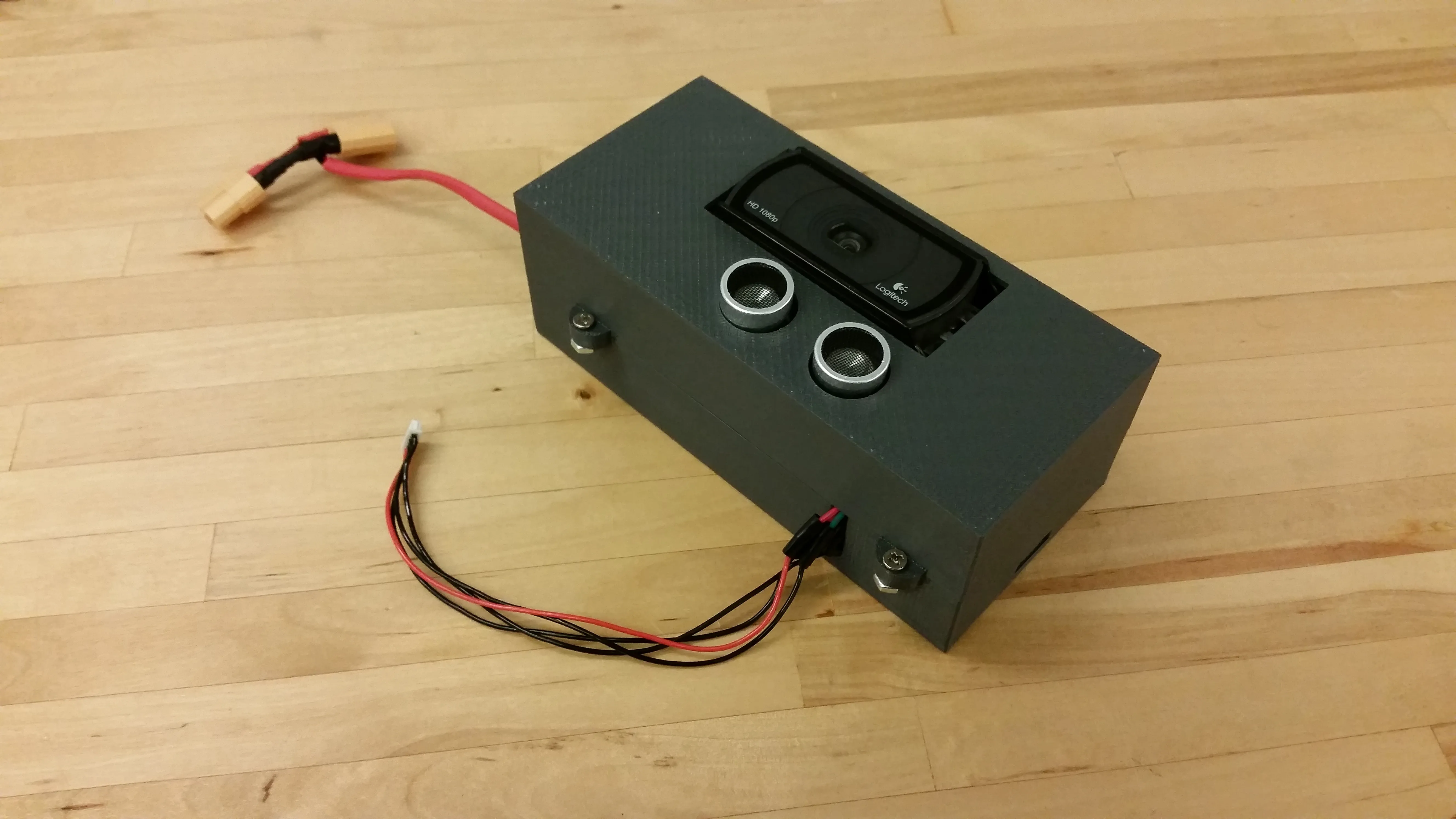
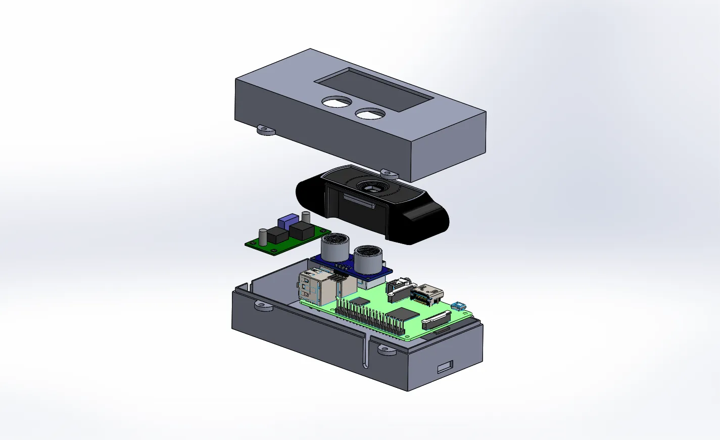
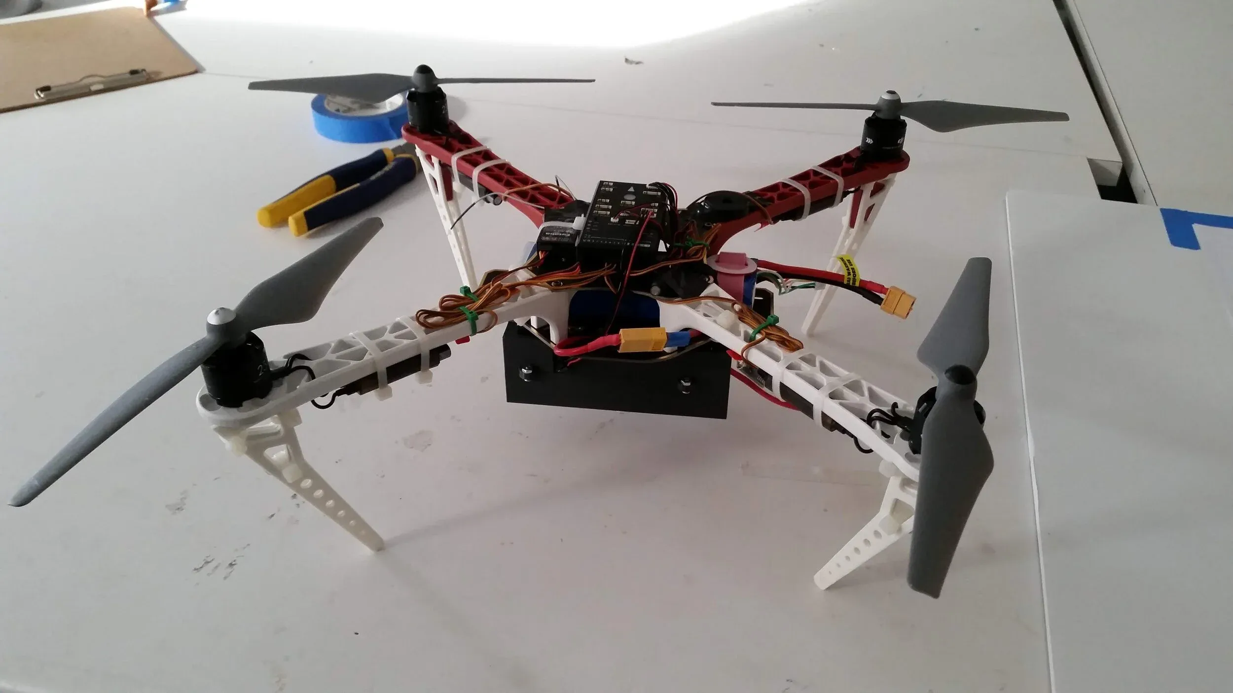
I mounted a downward-facing camera and an ultrasonic rangefinder beneath a quadrotor, with a Raspberry Pi 2 handling sensing and processing. The camera detects visual markers on the landing pad through ROS and the ar_track_alvar tracking package. The software turns the detected markers into estimates of the aircraft’s relative position and orientation. The rangefinder supplies altitude information near the ground, where the camera’s close-focus limit makes visual estimates less reliable.
The pad uses five markers of different sizes: larger ones can be seen from farther away, while smaller ones remain visible as the aircraft gets closer. When multiple markers appear in the camera frame, the algorithm combines their estimates and gives more weight to the larger markers. I designed and assembled the sensor enclosure, integrated the module with the test aircraft, and evaluated recognition across changes in height, lateral offset, lighting, and motion.
Results
The prototype detected the pad from up to 14.4 meters above it and with up to 5 meters of lateral offset. In a moving flight test, it recorded 100% marker recognition from 2 to 10 meters of altitude. The module weighed 225 grams. These results demonstrate pad recognition and relative-pose estimation; connecting those estimates to autonomous flight control and completing a landing remained future work.